Your Favorite Routes at a Glance
Plan all your custom trips and have them instantly accessible. Keep your most-flown routes organized, visualized, and ready for your next adventure.


Plan, Monitor, Fly
Advanced route planning and live weather monitoring tailored for VFR pilots.
Free for VFR pilots. METARs, webcams and multi-day forecasts in one place.
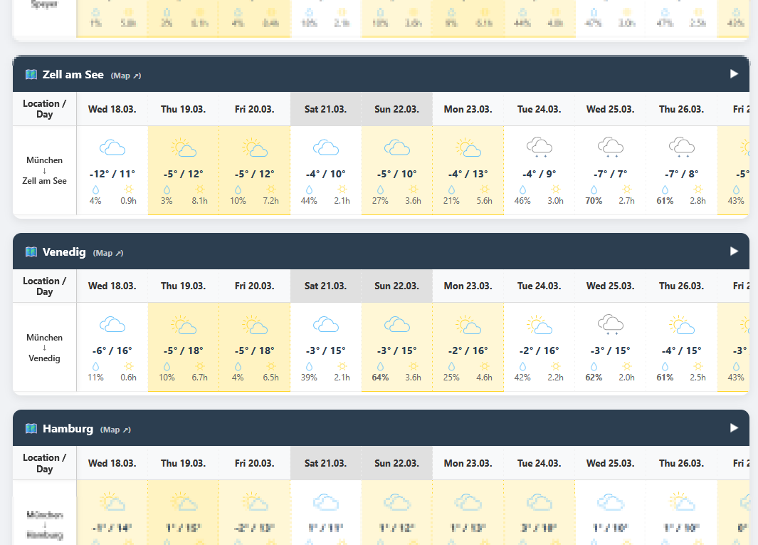
FlyVFR is a planning aid for VFR pilots: draw your route, see the multi-day forecast at every waypoint and keep an eye on live conditions along the way. It runs in your browser on any device and complements your official flight preparation.
Plan all your custom trips and have them instantly accessible. Keep your most-flown routes organized, visualized, and ready for your next adventure.
Checking conditions along the way has never been easier. Visualize real-time aviation webcams and live METARs directly on your active flight path.
Never miss a single flight opportunity. Our intuitive matrix breaks down the weather for every waypoint, helping you pinpoint the perfect window to fly.
Plan, Monitor, Fly — the whole cockpit, free for 14 days on every new account.
Start your 14-day free trial01 · Plan
Build anything from a local hop to a multi-day tour in a few clicks.
Set waypoints with a click on the map, reorder them by drag and drop and plan multi-day trips with overnight stops.
ICAO search, runway and elevation data. Closed fields are flagged right on the map.
Save as many routes as you like, on every plan.
02 · Monitor
Real observations instead of guesswork, right on the map.
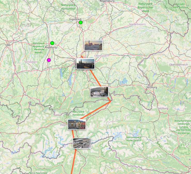
Along your route, colour-coded by flight category (VFR / MVFR / IFR / LIFR).
foto-webcam.eu, Windy and the airfields' own cameras. See the sky before you launch.
Calculated per runway, so you know your limits before you commit.
03 · Fly
Up to seven days ahead, read for the day you will actually be at each stop.
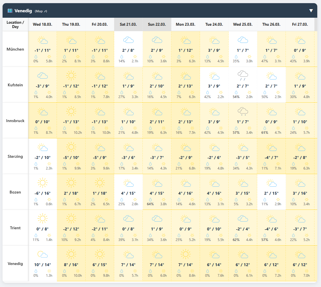
One row shows the worst conditions along the entire route for each day, overnight stops included.
A score and trend arrow for each departure day, on every account.
Passengers and friends see the map and a 7-day forecast for the whole route, no account needed.